By Substitute Library Assistant, Laura Puls
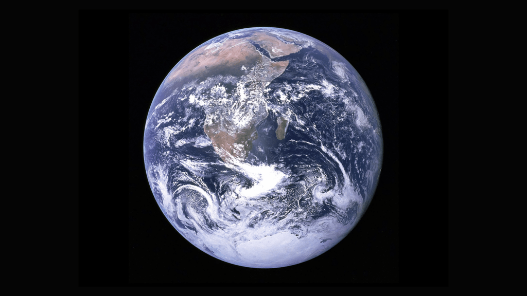
Between the COVID-19 pandemic, ongoing conflicts, climate change, and economic shocks, we experience daily how Colorado is connected to countries around the world. We’re not alone in paying attention to what’s happening internationally: in a 2022 Pew questionnaire, Americans gave more correct answers than incorrect answers about global events.
Have you ever read a news story and wanted more context about where events were happening? Preparing for the school year and wanting to brush up on geography? Getting ready to travel? The library’s map collection and suggested map websites can help you get a lay of the land.
World Maps
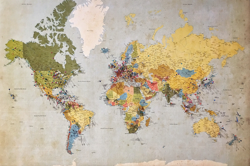
Atlases are a great start for zooming in on individual regions and seeing whole continents at once. Many atlases also include facts and data about countries for a broad overview:
- Oxford Atlas of the World (2021)
- Lonely Planet – The Travel Atlas: the Ultimate Atlas for Globetrotters (2018)
- National Geographic Kids: Student World Atlas (2019)
- National Geographic World Atlas (2021)
Artistic Maps
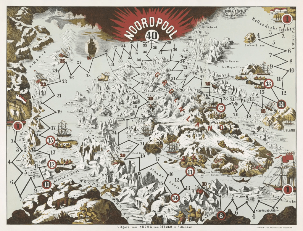
Looking for a more creative approach to visualize the world? These books provide more context and unique takes on what a map is:
- Maps / Aleksandra Mizielińska and Daniel Mizielinski; translated by Antonia Lloyd-Jones (2020)
- Geo-graphics / Regina Giménez; translated by Alexis Romay and Valerie Black (2022)
- Where on Earth?: our world as you’ve never seen it before / Rachel Thompson (2021)
Online maps
Take a map in your pocket! These websites allow you to quickly pull up a country’s location and offer more interactive elements for exploring the world.
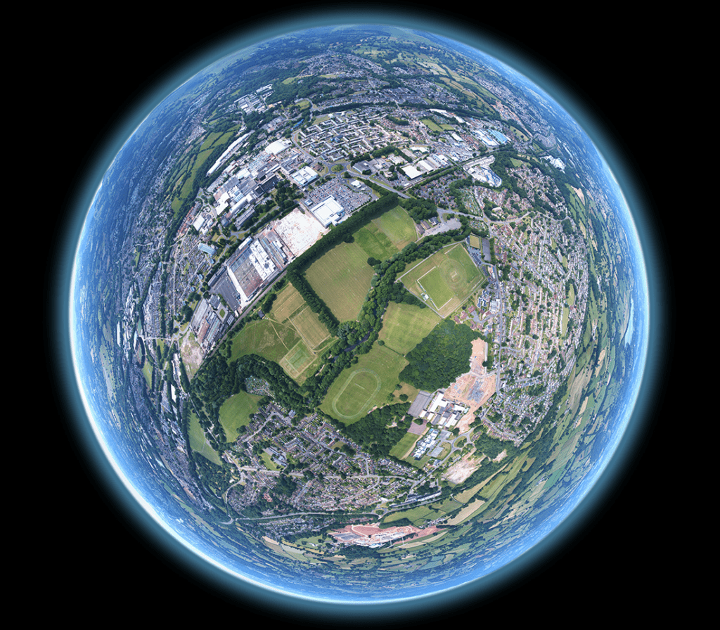
Google Earth: take a road trip from home and explore geography, sites of interest, and cities; it is like street-view on a global scale. Based on U.S. government and military data.
ArcGis Living Atlas of the World: search for countries, regions, and cities; limit by type of map (reference maps, maps in the news, topographical, political boundaries, and many more).
David Rumsey Map Collection (Stanford): includes historical and modern maps; search or browse for international, U.S., and U.S. local maps. The atlas section may also be an easy way to find more modern representations.
Council on Foreign Relations, Global Conflict Tracker: provides context and geographical visualization of conflicts going on around the world; includes background, impact on US, and updates.
Want to discuss what you’re learning about the world? The library also hosts the Great Decisions program where residents can discuss international issues and how they impact the United States.
As we face global problems, we can feel more equipped by learning how we’re all connected and what we can do to help each other.

